
As humanity’s reach into the cosmos accelerates, the region immediately surrounding our planet—Low Earth Orbit (LEO)—is undergoing a profound transformation. What was once a pristine expanse is now a bustling, congested thoroughfare. With tens of thousands of active satellites and an ever-growing cloud of orbital debris, the risk of catastrophic collisions has reached a critical inflection point. At the heart of this challenge lies a silent, invisible force: the drag exerted by the Earth’s tenuous upper atmosphere.
A team of researchers at Kyoto University has recently unveiled a groundbreaking technique that promises to demystify this region. By applying medical-style tomography to the orbital data of the Starlink constellation, scientists have achieved the first two-dimensional map of thermospheric density, offering a vital new tool for space situational awareness and collision avoidance.
The Invisible Barrier: Understanding the Thermosphere
To the average observer, space is a vacuum. However, to a satellite traveling at orbital velocities, the space between 100 and 1,000 kilometers above the Earth’s surface is a dynamic, viscous environment. This region, known as the thermosphere, is the final frontier of our atmosphere.
More than 99 percent of the thermosphere consists of electrically neutral gas. It is a region defined by extreme temperature fluctuations and complex interactions with solar radiation. Despite its high altitude, the thermosphere is dense enough to exert drag on satellites, gradually sapping their orbital energy and causing them to spiral downward toward Earth.
Contrast this with the ionosphere, the layer of ionized gas that overlaps the thermosphere. While the ionosphere represents less than 1 percent of the upper atmosphere, it has historically been easier to study because its charged particles interact readily with radio waves. The thermosphere, by contrast, is notoriously difficult to measure. Because it is electrically neutral, it does not leave a convenient "fingerprint" for remote sensing equipment, leaving engineers to rely on complex, often imprecise mathematical models to predict how drag will affect a satellite’s trajectory.
Chronology of a Breakthrough: From TLE Data to Tomographic Maps
The path to this discovery was paved by a series of incremental advancements in space situational awareness. For years, the scientific community has relied on Two-Line Element (TLE) sets—publicly available data provided by the U.S. Space Command that describes the orbital parameters of objects in space.
The Initial Phase
In earlier research, the Kyoto University team, led by Professor Mamoru Yamamoto, utilized TLE data from Starlink satellites to estimate how thermospheric density fluctuated over time and altitude. By observing the minute changes in the decay of these orbits, the team was able to infer how the density of the atmosphere impacted the velocity of the satellites. While successful, this approach was limited to one-dimensional observations—essentially a "slice" of data that lacked geographic context.
The Tomographic Leap
Recognizing the limitations of their initial work, the team pivoted toward a more ambitious goal: mapping the horizontal variation of the atmosphere. Drawing inspiration from medical imaging—specifically CT scans, where internal structures are reconstructed from multiple X-ray projections—the team applied the principles of tomography to orbital mechanics.
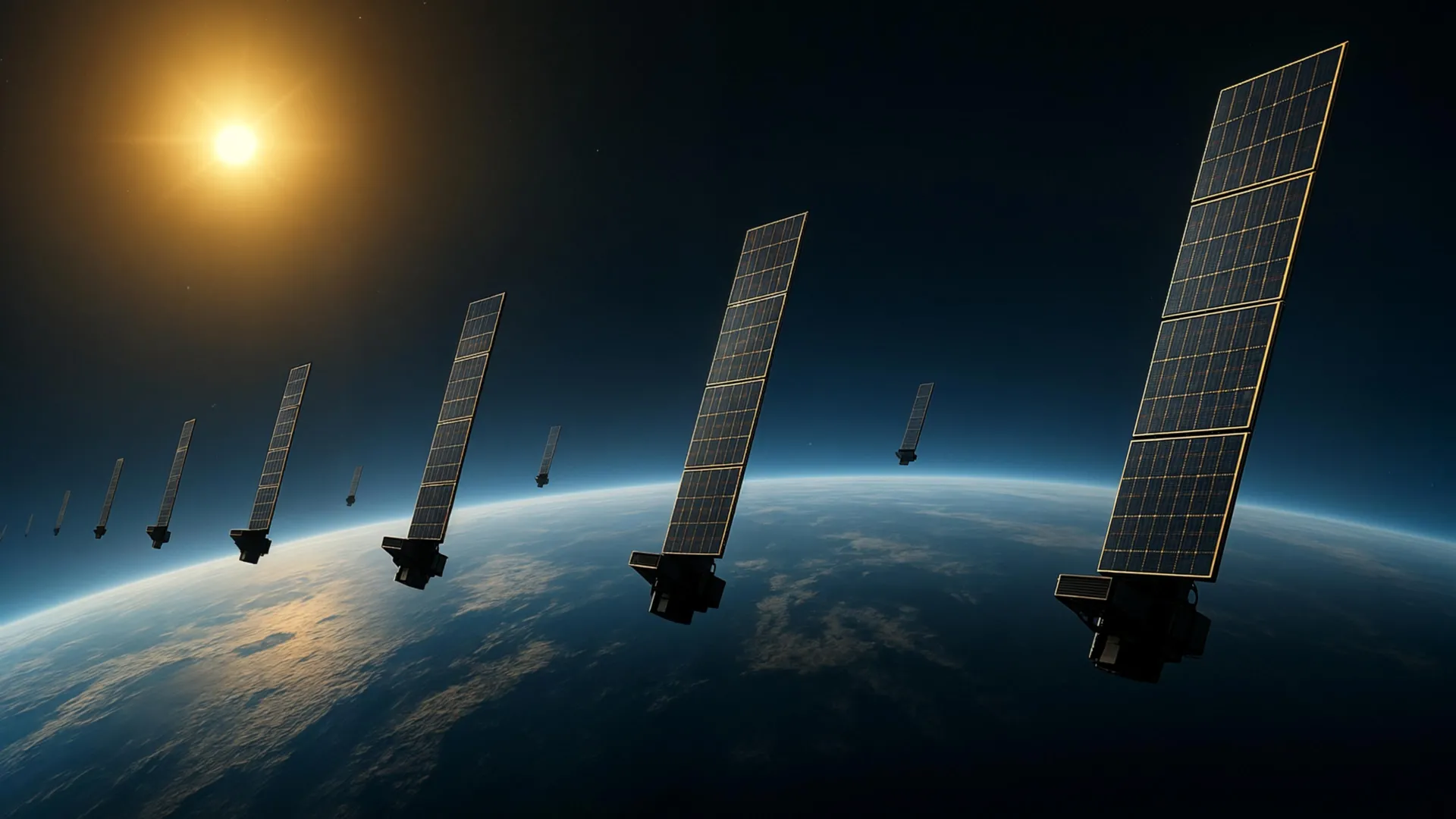
By analyzing the drag signatures of approximately 1,200 Starlink satellites, all operating at an altitude of roughly 482 kilometers, the researchers cross-referenced the orbital decay patterns of this massive constellation. Because the satellites were distributed across varying longitudes and latitudes, the team was able to treat the aggregate data as a series of "projections," allowing them to reconstruct a two-dimensional snapshot of the thermospheric density across the globe.
This achievement marks a significant milestone in space science. For the first time, researchers can visualize how the atmosphere "thickens" or "thins" across different geographic sectors, moving beyond the static, longitudinal-averaged models that have dominated the field for decades.
Supporting Data and Verification
The validity of the Kyoto University study was confirmed through rigorous cross-referencing with existing assets. The team compared their tomographic maps against data gathered by the European Space Agency’s (ESA) SWARM mission. The SWARM satellites are equipped with high-precision accelerometers specifically designed to measure atmospheric density along their individual orbital paths.
The alignment between the Kyoto team’s tomographic map and the direct measurements provided by SWARM was striking. This consistency suggests that the "crowdsourced" data from commercial satellite constellations can be used as a legitimate scientific instrument, effectively turning the thousands of Starlink satellites into a global sensor network.
The density patterns revealed in the maps suggest that thermospheric behavior is far more nuanced than previously realized. The horizontal distribution of neutral gases appears to be influenced by a complex interplay of solar activity, geomagnetic storms, and atmospheric tides, all of which manifest as geographic variations at the 500-kilometer mark.
Official Responses: A Multidisciplinary Mandate
The success of this research highlights a growing shift in the scientific community toward interdisciplinary collaboration. According to Mamoru Yamamoto, the corresponding author of the study, the project was born out of a realization that space science and space engineering have been operating in silos for too long.
"This is a multidisciplinary study between space science and space engineering," Yamamoto noted in a statement. "Reading papers from both research fields, we realized that deeper dialogue between researchers from both fields is necessary."
The engineering community, which is primarily concerned with hardware longevity and collision avoidance, had traditionally viewed atmospheric drag as a nuisance parameter to be minimized. The space science community, conversely, viewed the thermosphere as a subject of fundamental physical study. By bridging these two perspectives, the Kyoto team demonstrated that commercial data—often viewed as "messy" or secondary—could be transformed into a high-fidelity scientific dataset.
This sentiment is echoed by peers in the orbital dynamics sector, who emphasize that the rapid expansion of private space flight requires a paradigm shift in how we monitor the orbital environment. The ability to utilize public data to solve engineering challenges is seen as a sustainable model for the future of space traffic management.
Implications: Securing the Future of the Orbital Environment
The implications of this research extend far beyond academic curiosity. As the number of satellites in LEO continues to explode, the accuracy of collision avoidance maneuvers is becoming a matter of global security and economic stability.
Enhancing Collision Avoidance
Current collision avoidance systems rely on atmospheric models that can be off by significant margins, particularly during periods of high solar activity. When the sun is active, it heats the thermosphere, causing it to expand and increase drag. If a satellite operator underestimates this density, their collision avoidance calculations may be flawed, potentially leading to a "near miss" or, worse, a debris-generating collision. By providing a more granular, near-real-time map of atmospheric density, the Kyoto team’s method allows for more precise trajectory modeling.
Improving Space Weather Forecasting
The thermosphere is the "cradle" of space weather impacts on Earth. Understanding its density is essential for predicting the effects of geomagnetic storms on GPS signals, satellite communication, and power grids. The ability to monitor this region in high resolution will allow for more accurate forecasting of how space weather events evolve, providing satellite operators with the lead time needed to place sensitive assets in "safe mode."
A Sustainable Orbital Economy
Perhaps most importantly, the research provides a blueprint for the sustainable management of the "orbital commons." As we populate the space around Earth, the ability to monitor our surroundings is a prerequisite for long-term viability. By turning commercial satellites into a distributed sensing network, the Kyoto team has provided a cost-effective, scalable way to keep the skies clear.
In the future, the team hopes to move from static snapshots to near-real-time monitoring. If successful, this would represent a quantum leap in space situational awareness, potentially allowing for an automated, global monitoring system that could update satellite operators on atmospheric conditions with the same frequency that we receive weather updates on Earth.
As we look toward an era of orbital mega-constellations, the work of the Kyoto University team serves as a crucial reminder: in the complex, crowded, and unforgiving environment of Low Earth Orbit, our ability to thrive depends not just on our technology, but on our ability to map and understand the invisible forces that govern the heavens.